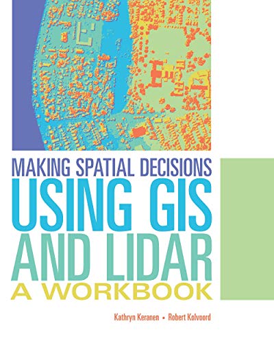
Making Spatial Decisions Using GIS and Remote Sensing: A Workbook Kathryn Keranen Robert Kolvoord 0.0 stars
Making Spatial Decisions Using GIS: A Workbook, Second Edition 2nd edition by K… Kathryn Keranen 0.0 stars
Manti-La Sal National Forest Map (National Geographic Trails Illustrated Map, 703) National Geographic Maps 0.0 stars
Manual of Surveying Instructions - For the Survey of the Public Lands of the Un… United State Department Of The Interior Bureau Of Land Management 0.0 stars
Map Showing Fossil Localities of the Rattlesnake Creek, Western and Eastern Hay… William P Irwin Charles D Blome 0.0 stars
Map Use: Reading, Analysis, Interpretation A. Jon Kimerling Aileen R. Buckley Phillip C. Muehrcke Juliana O. Muehrcke 0.0 stars
Mapa geològic de Catalunya 1:25 000. Geotreball I. Mapa geològic. Bellcaire d'U… Institut Cartogràfic I Geològic De Catalunya 0.0 stars
Mapa geológico del Parque Nacional de Ordesa y Monte Perdido: Escala 1:25.000 Josep María Samsó Escolà Alejandro Robador Moreno 0.0 stars