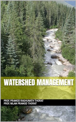
Watershed Management by using QGIS
by Pramod Raghunath Thorat, Nilam Pramod Thorat

Watershed Management by using QGIS introduces the use of QGIS in watershed management and environmental planning. Written by Pramod Raghunath Thorat and Nilam Pramod Thorat, this focused resource is intended for readers interested in geography, environmental science, and practical applications of geospatial technology.
About This Book
Watershed Management by using QGIS focuses on the relationship between watershed management and geographic information systems.
The book presents QGIS as a tool for exploring, organizing, and communicating information relevant to watershed-related work.
It is suited to readers seeking an introduction to the use of geospatial technology in environmental and geographic contexts.
Pramod Raghunath Thorat and Nilam Pramod Thorat provide a focused resource connecting watershed concepts with QGIS.
Reviews
No reviews yet. Be the first to review this book!