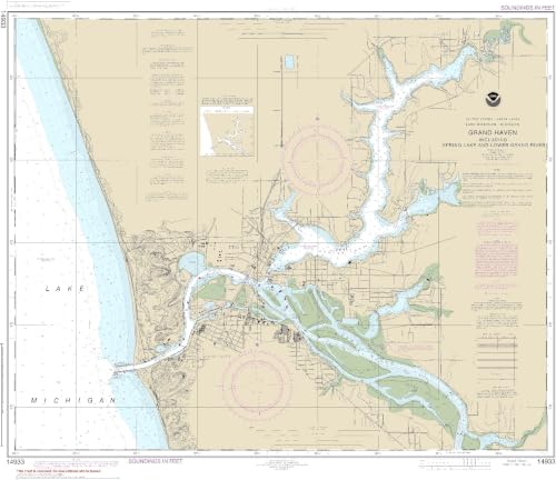
NOAA Chart 14933-Grand Haven, Including Spring Lake and Lower Grand River - Water-Resistant - by East View Geospatial

NOAA Chart 14933 covers Grand Haven, Spring Lake, and the Lower Grand River on water-resistant PaperTyger paper. Updated with current NOAA data and NTMs, it scales at 1:15,000 and measures 74 x 87 inches, fulfilling USCG requirements for safe navigation.
About This Book
This NOAA Chart 14933 provides essential navigation details for Grand Haven, including Spring Lake and the Lower Grand River. It is printed on PaperTyger, a lightweight, tear-resistant, and water-resistant material that offers a smooth matte finish.
The chart is produced on demand using the latest NOAA data and incorporates recent Notice to Mariners updates at the time of printing. This ensures accuracy for safe maritime travel.
With a scale of 1:15,000 and dimensions of 74 x 87 inches, it meets United States Coast Guard carriage requirements. Pre-production finishing enhances its quality for professional use.
Printed by East View Geospatial, this chart is designed for durability and reliability in marine environments.
Reviews
No reviews yet. Be the first to review this book!