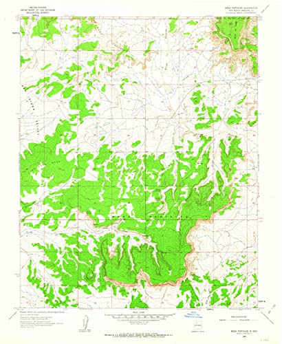
YellowMaps Mesa Portales NM topo map, 1:24000 Scale, 7.5 X 7.5 Minute, Historical, 1961, Updated 1963, 26.8 x 22 in - Paper

A historical YellowMaps topographic map of Mesa Portales, New Mexico, based on the 1961 edition and updated in 1963. The 1:24,000-scale map covers a 7.5 by 7.5 minute area and is printed on paper in an approximately 26.8 by 22-inch format.
About This Book
This historical topographic map covers Mesa Portales, New Mexico.
It uses a 1:24,000 scale and represents a 7.5 by 7.5 minute map area.
The map is based on the 1961 edition and was updated in 1963.
Printed on paper, it measures approximately 26.8 by 22 inches.
Reviews
No reviews yet. Be the first to review this book!