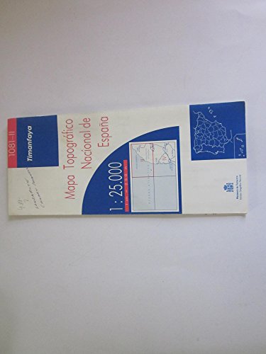
Topographic Map of Timanfaya, Isla De Lanzarote, Mapa Topografica Nacional De Espana
by Instituto Geografico Nacional Ministerio De Fomento

The Topographic Map of Timanfaya, Isla de Lanzarote is an essential tool from Spain's national series, detailing the rugged volcanic features of this iconic Canary Islands landscape. Created by the Instituto Geografico Nacional, it supports exploration, research, and outdoor activities with precise topographic information.
About This Book
This topographic map provides a detailed representation of the Timanfaya region on Isla de Lanzarote, part of the Mapa Topografica Nacional de Espana series.
Produced by the Instituto Geografico Nacional under the Ministerio de Fomento, it offers accurate elevation and contour data for the area's unique volcanic terrain.
Suitable for professional and recreational use, the map aids in navigation and environmental studies of this protected natural park.
Reviews
No reviews yet. Be the first to review this book!