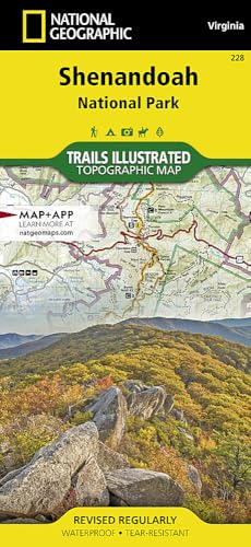
Shenandoah Map (National Geographic Trails Illustrated Map, 228)
by National Geographic Maps, Globe Pequot

Discover Shenandoah National Park with this comprehensive Trails Illustrated map on durable, waterproof paper. It features UTM grids for GPS, trail mileages, waterfalls like Whiteoak Canyon and Dark Hollow, the Appalachian Trail, Skyline Drive, and nearby cities. Ideal for hikers and outdoor enthusiasts seeking reliable navigation in George Washington National Forest.
About This Book
This National Geographic Trails Illustrated Map (228) provides essential navigation for Shenandoah National Park, printed on Backcountry Tough waterproof, tear-resistant paper. It includes a full UTM grid to assist with GPS navigation, along with mileage between intersections and key points of interest like campgrounds, visitor centers, and lookout towers.
The map highlights wilderness areas, the Rapidan Wildlife Management Area, and renowned waterfalls such as Overall Run, Whiteoak Canyon, Cedar Run, Rose River, Dark Hollow, Lewis, South River, Doyles River, and Jones Run. It covers cities including Front Royal, Waynesboro, Harrisonburg, Shenandoah, Elkton, Grottoes, and Charlottesville.
Explore George Washington National Forest and the Appalachian Trail, with detailed depictions of the Shenandoah River and Skyline Drive. The map measures 25.5 inches by 37.75 inches when flat and folds conveniently to 4.25 inches by 9.25 inches for easy portability.
Reviews
No reviews yet. Be the first to review this book!