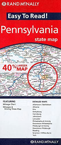
Easy To Read: Pennsylvania State Map
by Rand Mcnally

The Easy To Read: Pennsylvania State Map by Rand McNally displays all Interstate, U.S., state, and county highways, along with parks, points of interest, airports, county boundaries, and streets. Its user-friendly legend and detailed index ensure fast and simple destination finding for any journey across Pennsylvania.
About This Book
This Rand McNally map provides a comprehensive view of Pennsylvania, featuring all Interstate, U.S., state, and county highways for reliable navigation.
It clearly marks parks, points of interest, airports, county boundaries, and key streets to help users explore the state with confidence.
The easy-to-use legend and detailed index allow for quick location of any destination, making it an essential tool for drivers and travelers.
Reviews
No reviews yet. Be the first to review this book!