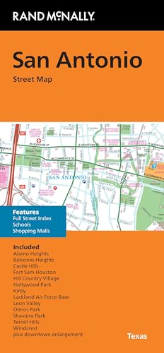
Rand McNally Folded Map: San Antonio Street Map
by Rand Mcnally

A practical, regularly updated street map for exploring San Antonio. Full-color coverage includes major highways, parks, airports, schools, shopping malls, county boundaries, points of interest, and downtown details. With enlargements, a clear legend, and a comprehensive street index, it supports everyday navigation and travel planning.
About This Book
Explore San Antonio with a regularly updated, full-color folded street map.
The map clearly identifies Interstate, U.S., state, and county highways, along with county boundaries and airports.
Find parks, points of interest, schools, shopping malls, and detailed downtown and vicinity maps.
Downtown enlargements, an easy-to-use legend, and a full street index support convenient trip planning and navigation.
Reviews
No reviews yet. Be the first to review this book!